AN OUTLINE OF GEOLOGY
Apricena is on the North-East ends of the Tavoliere, a large plain about 1230 square miles wide, originated from the emersion of an Adriatic sea bottom in the Quaternary (Miocene). Clay and marl, with some quaternary sediments and more recent alluvia, have then deposited on it. The boundaries of the plain are the rivers Fortore in the North and Ofanto in the South, the Subappennino in the West and the Gargano in the East. The quarries are between this plain and the foot of the Gargano. According to the continuous succession of sea progression and regression, the Gargano appeared as an isle or an appendix of the Tavoliere, which consequently turned out to be below or above sea level. The oldest rocks deposited about 160 million years ago, in the Jurassic period, in a not much deep submarine environment. Latitude and climate were then totally different from the ones of today and persisted until 40 million years ago (Eocene).
The first important raising of the Gargano occurred probably 5 million years ago (Miocene) and was caused by the internal movement of our Planet. At the same time exogenous agents began also to work, contributing so to the present morphological shape of the promontory.
AN OUTLINE OF GEOGRAPHY
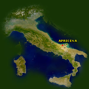
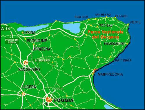
The province of Foggia, third in Italy for widht, is in the North of Puglia and includes three subregions: Gargano, Tavoliere and Subappennino Dauno. Although in the Tavoliere, the territory of Apricena, 240 foot above sea level and 66 square miles wide, is usually considered the natural entrance to the Gargano because of its morphological characteristics and its history and culture.
This is the reason why the Town Council in 1998 got part of the territory included in the National Park of Gargano.